


Get trained as a Duxbury Reef Docent (January-February). Learn more
Volunteer
Many organizations in Point Reyes depend on volunteers. One of the best ways to learn about a place is to volunteer.
Get into nature and remove invasive plants at beautiful locations in Point Reyes. Thursday Weeders is every other Thursday from 10:00am to 2:00pm Learn more
Events
Support the local organizations that keep Point Reyes thriving by attending events, fundraisers, and immersive classes.
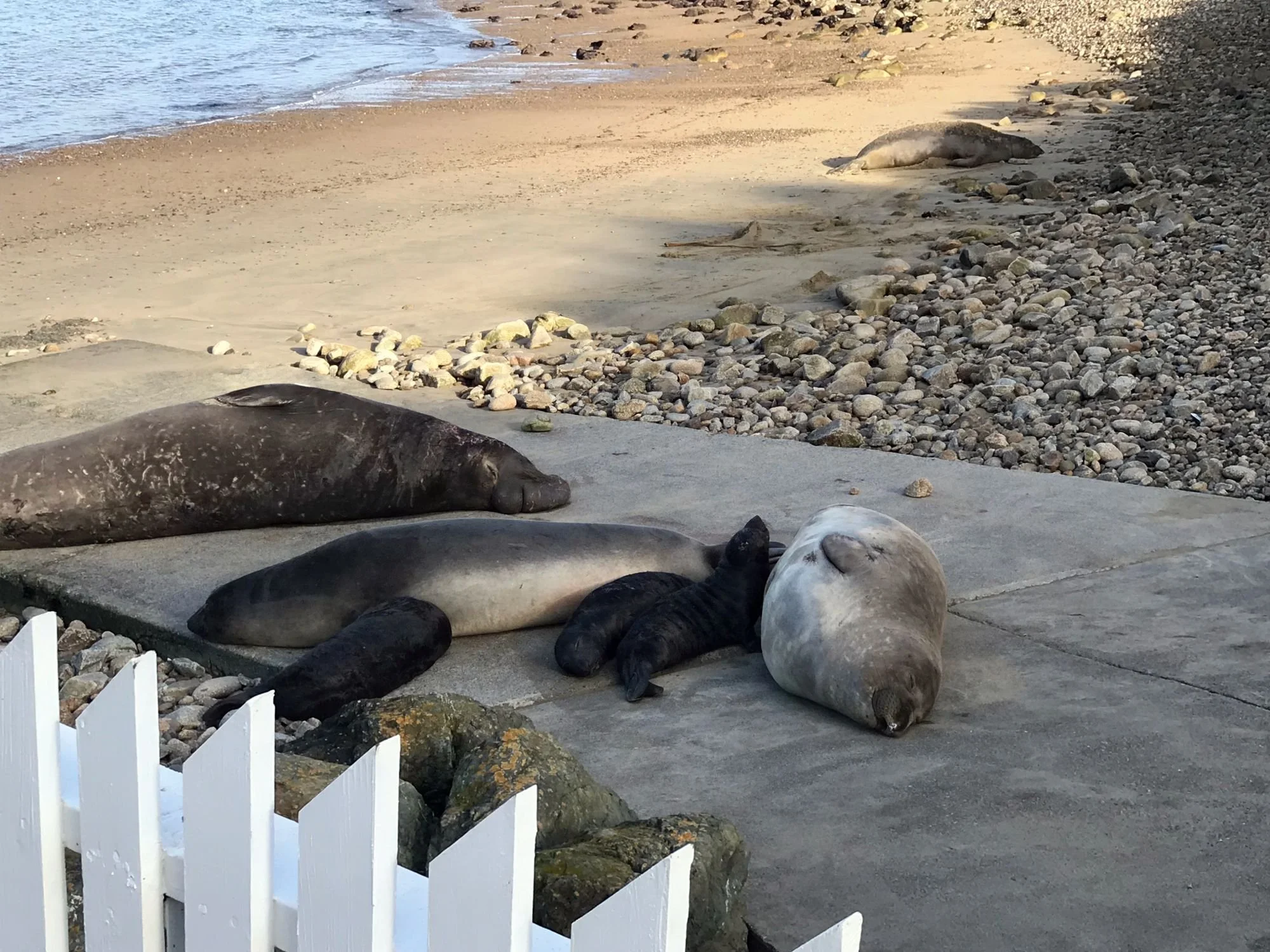
Northern elephant seal breeding season is underway! The first pup was born on Drakes Beach in late December.
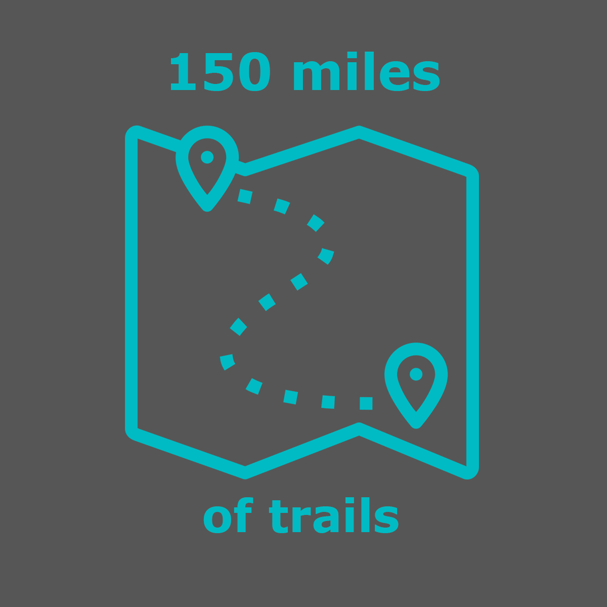
Trails
Two converging tectonic plates, the Pacific and the North American, create an area rich in geologic interest and teeming with plants and animals. Hike the more than 50 trails that cover 150+ miles.
Tide pools at Kehoe Beach
Beaches
Point Reyes has beaches on three sides of the peninsula. Ocean-facing beaches are on the west and south sides, and beaches lining the east and west sides of Tomales Bay. There’s something for everyone — from intense surfing to leisurely sunbathing and bonfires.
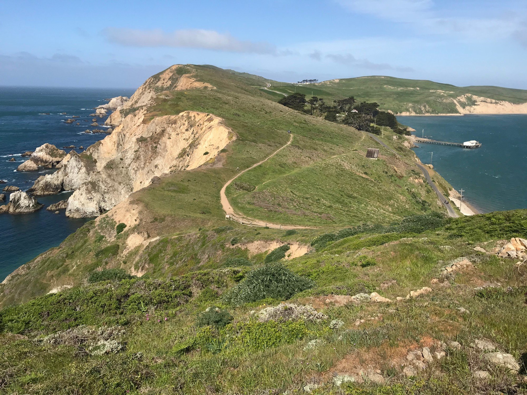
Featured Hike: Chimney Rock & the Outer Point
Chimney Rock Trail: Pacific ocean on left and Drakes Bay on right
Featured hike: Chimney Rock & the Outer Point
Winter seas bring dramatic conditions and rich seabird watching to Point Reyes’ farthest tip, the outer point. Pelagic Cormorants cling to cliffs, Common Murres raft offshore, and Surf Scoters & Horned Grebes dot the swells. Peregrine Falcons dive overhead while Western Bluebirds and Song Sparrows brighten the coastal grasslands with song. Special winter surprises include Great Horned Owls roosting in cypress groves or unusual seabirds blown close to shore. The mix of ocean cliffs and open grasslands makes this one of the best winter birding spots. It’s a spectacular month for ocean views, raptors, and overwintering marine birds. Consult Keith Hansen’s beautifully illustrated Birds of Point Reyes book for playful accounts of the birds of the outer point.
Less than 3 miles, out and back
Start at the Chimney Rock Trailhead.
1. Hike the Chimney Rock Trail watching for birds in the cypress trees at the beginning of the trail, in shrubs in the grassland, and on Chimney Rock, at the end of the trail.
2. Next, walk down the paved road to the Historic Lifeboat Station scanning the trees for birds.
3. Finally, visit the Lighthouse. Search cypress trees along the paved road trail from the parking lot to the lighthouse. At the observation deck, scan for seabirds on the bluffs and rocks. Winter Wildlife Docents may be on hand with binoculars and a scope.
Get details about Chimney Rock Trail and Lighthouse
eBird bird lists for: Chimney Rock birds and Lighthouse birds
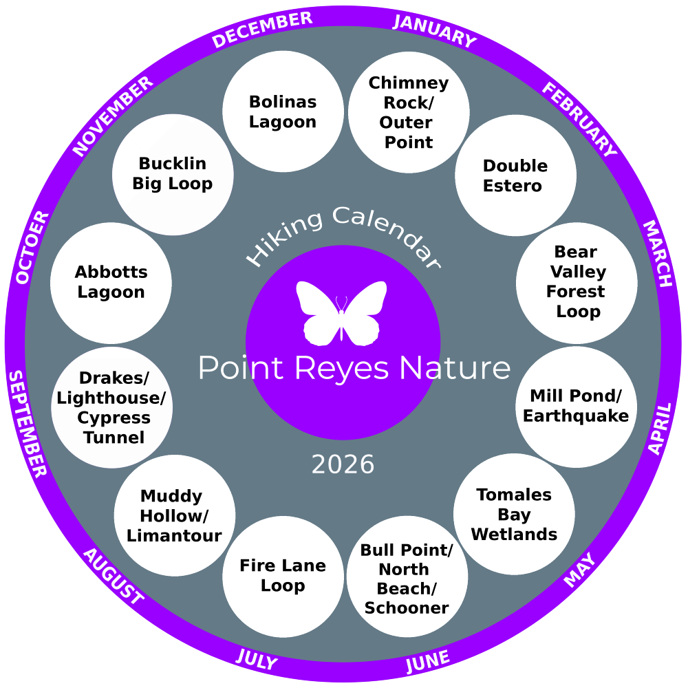
Hiking calendar 2025
A new trail every month.
Looking for hiking ideas? Let this hiking calendar be your guide to get out and go hiking on the trails in the Point Reyes National Seashore. A new hike every month along with seasonal highlights and ways to engage more deeply.
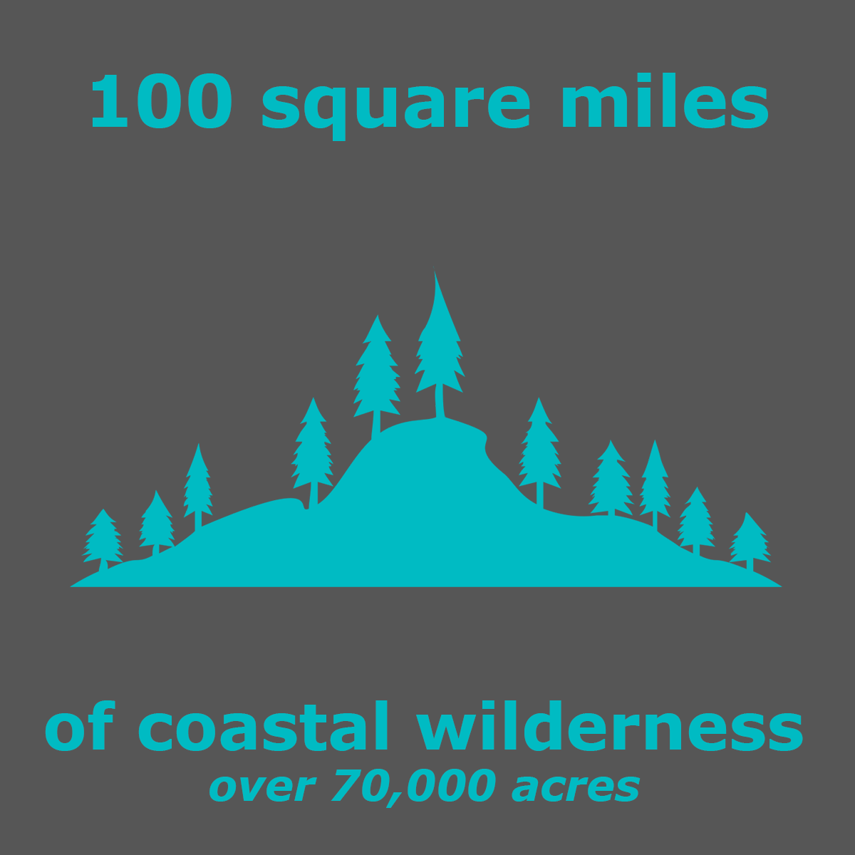
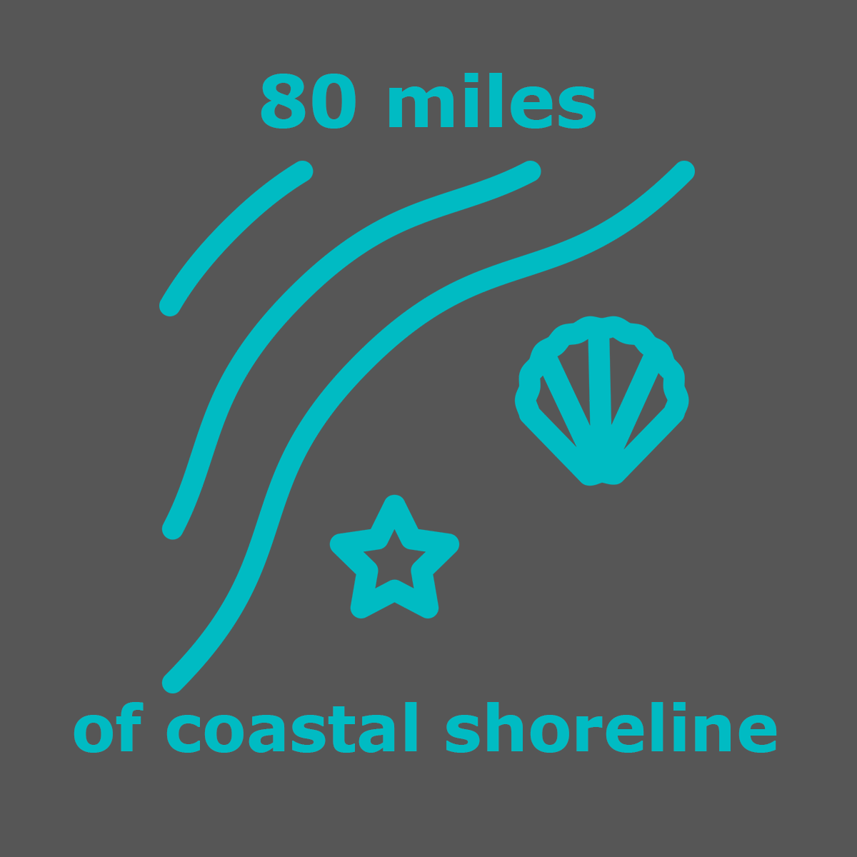
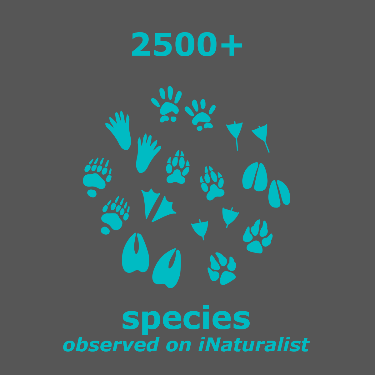
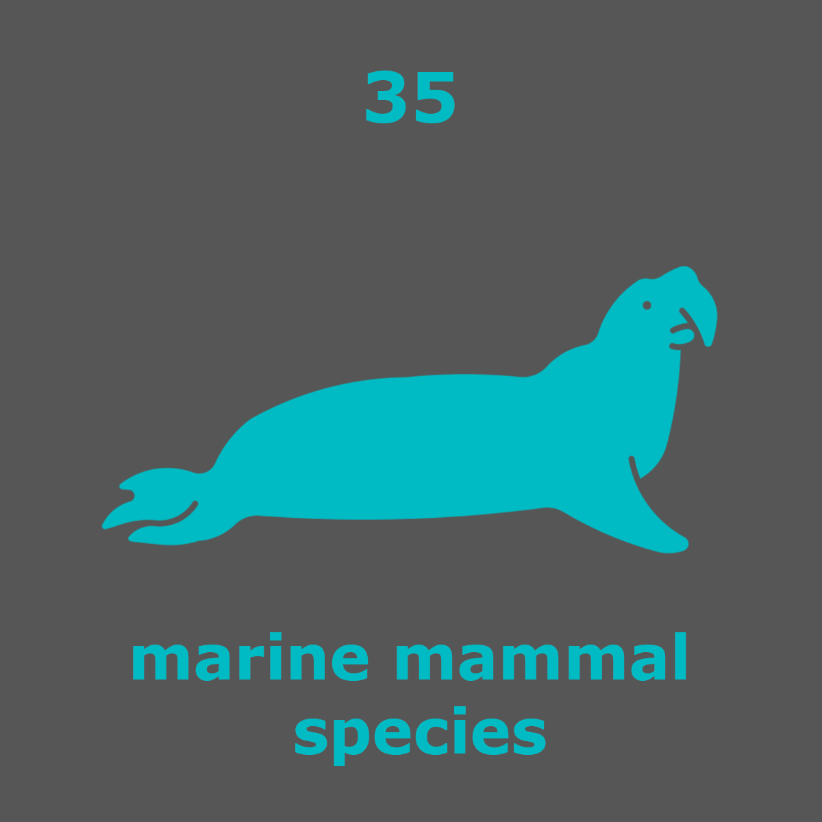
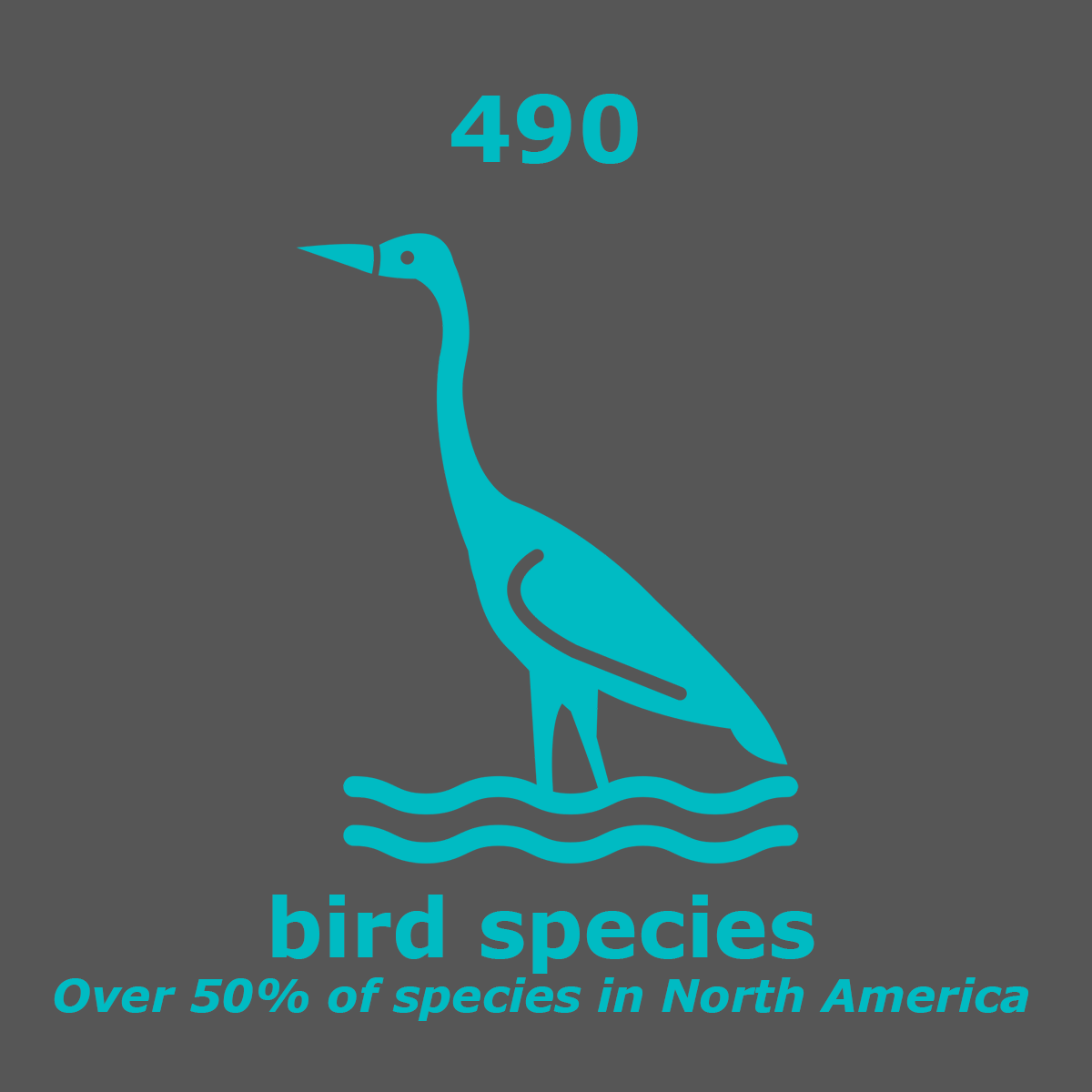
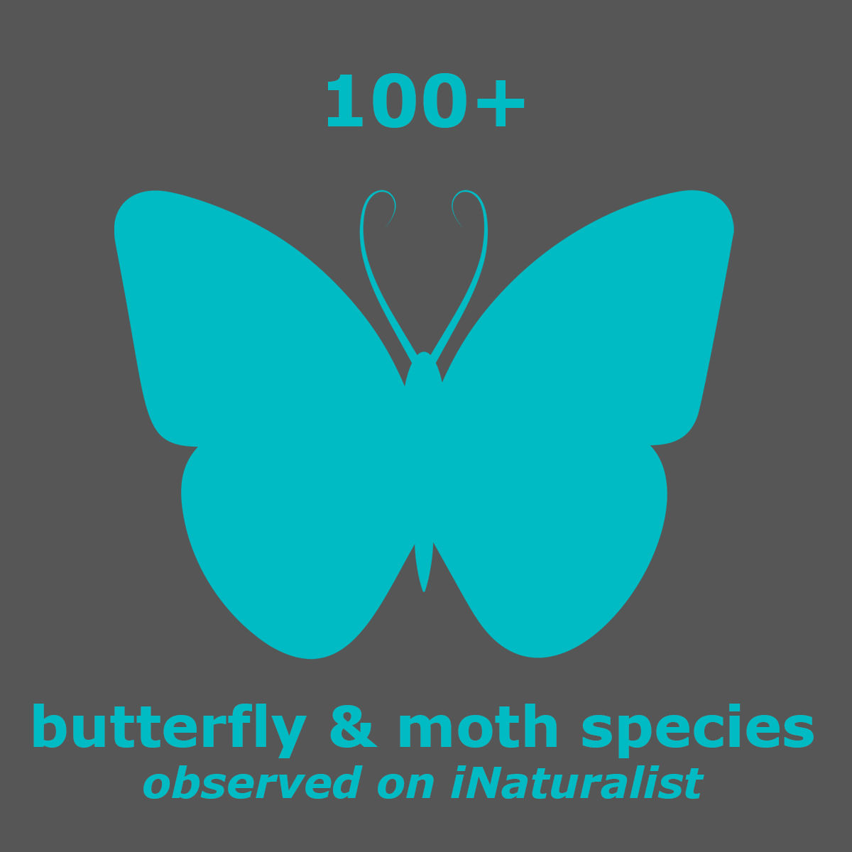
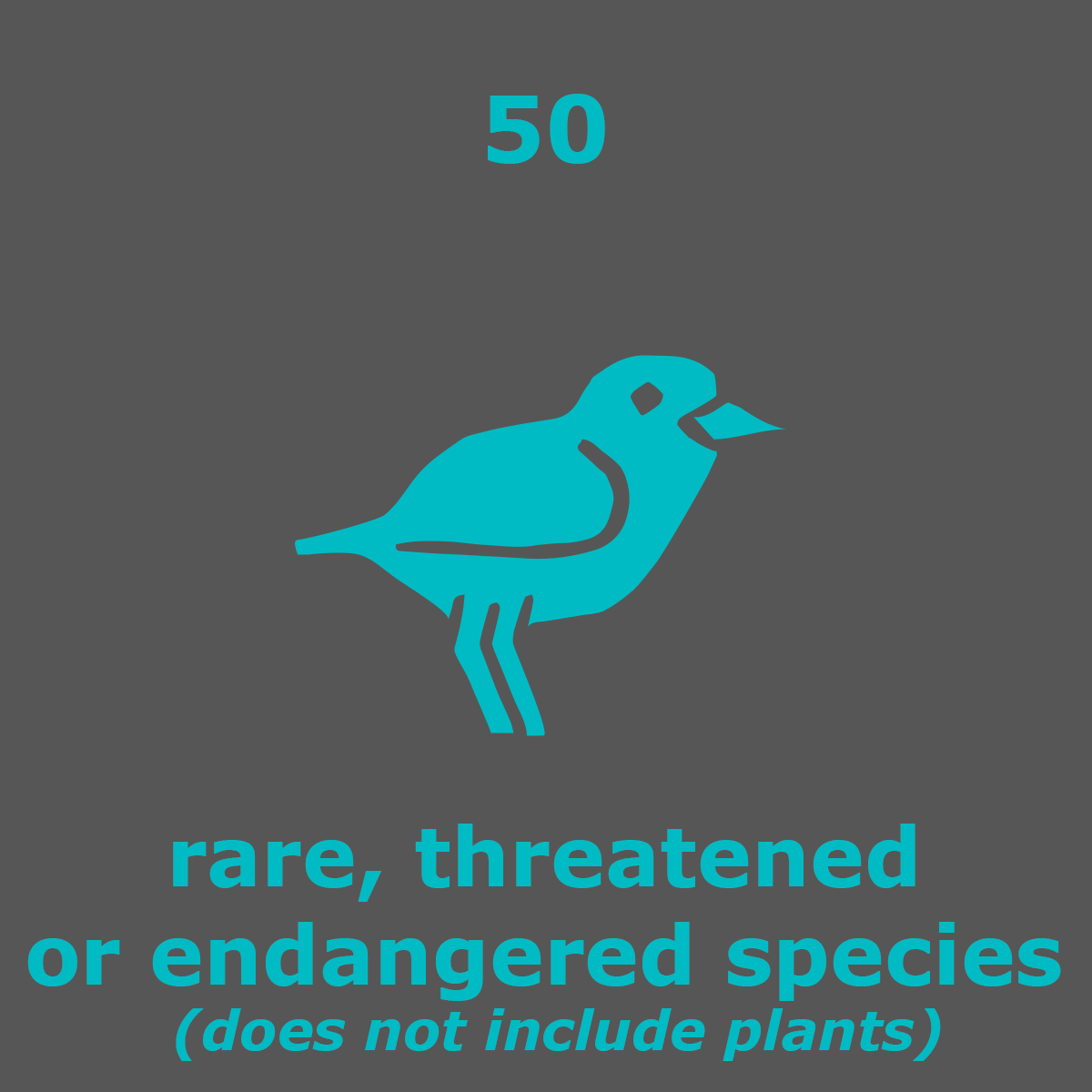
By the numbers.

point reyes live webcam
How cold & foggy is it now?
Point Reyes live webcam should really be called a "fogcam". Point Reyes is the second foggiest place in the world with more than 200 foggy days a year. Grand Banks, Newfoundland is the foggiest.
In addition, close to real-time photos are available from cameras located on Black Mountain, Mount Barnabe, and Mount Vision courtesy of AlertWildfire.org.
National Weather Service 7-day forecasts for Point Reyes.
My favorite webcam is the Marine Mammal Center’s at Chimney Rock. They release patients back into the wild from here. You can subscribe to get text alerts and watch live.
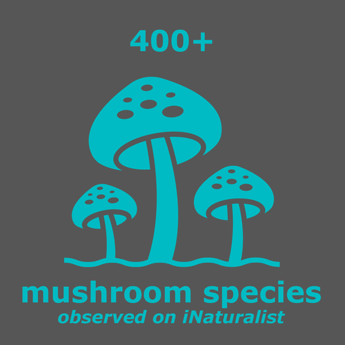
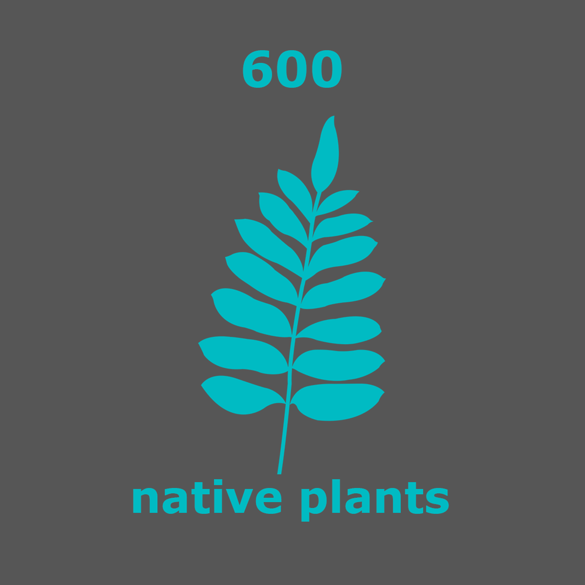
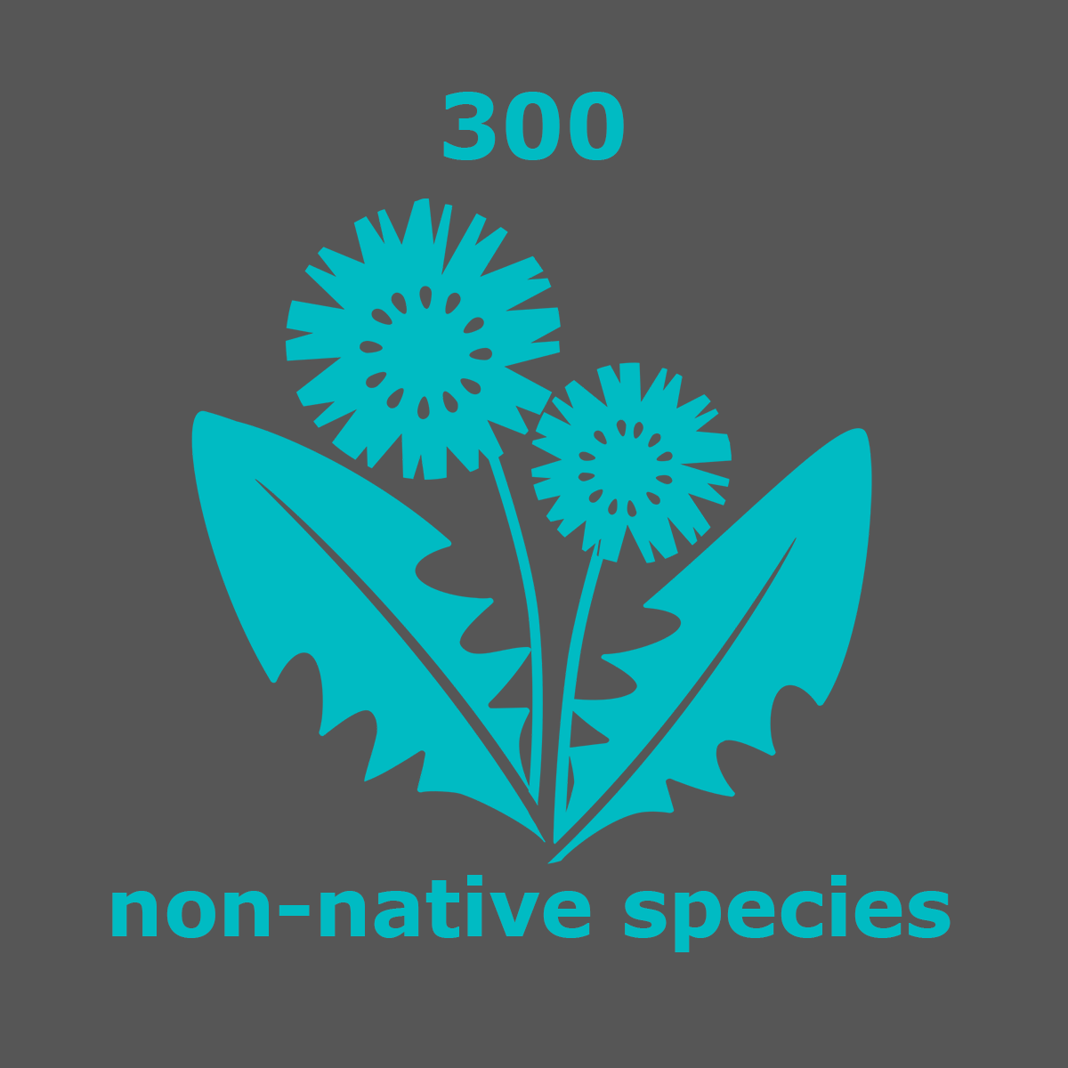
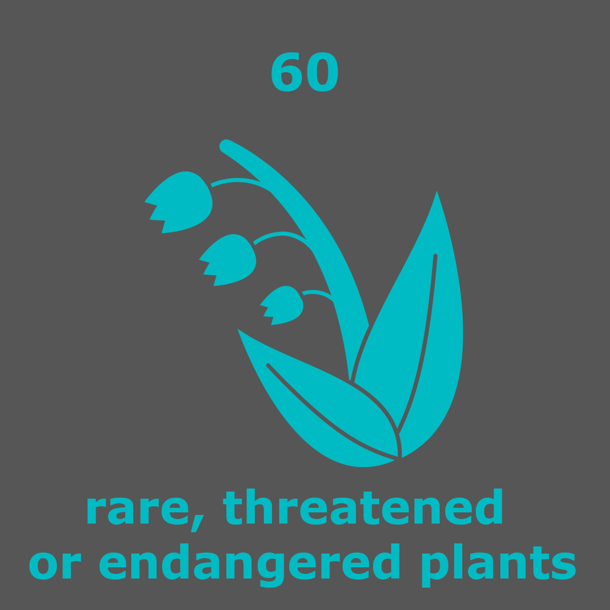
Nature observations
What was seen today in Point Reyes?
You can contribute to citizen science by adding observations (photos) to the California Academy of Science's iNaturalist app or website.
It's easy, fun, and turns hikes into treasure hunts. Pausing to take photos may slow down your hike, but it will increase your curiosity about all the living things around you. Give it a try!

